It’s late Winter, or perhaps it’s early Spring. An uncertain season here in Orkney, either way. It can mean anything from shirtsleeves and birdsong to blizzarding snow and sometimes both of these in the same day. We’ve had some gentle days recently that saw the hens out scratching busily under the shrubs, the first curlew and skylark calls, and the green buds swelling on the dog rose.
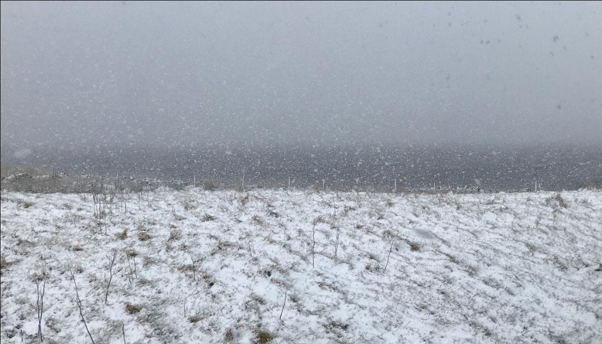
But from my window today I’m watching flurries of snow and sleety rain sweep across the loch, driven by a raw northerly wind. In the garden, the ground oozes underfoot, still sodden from the winter rains even though a good ‘drying wind’ last week lifted some of the wet and blew it out to sea.
Still, the fish pass in the burn roars with the water rushing through, filling the garden with sound.
This is a wet place.
But I read in yesterday’s news about a lack of replenishing winter rains in the south, and fears of drought in the summer that’s coming. Later in the evening I found myself watching a BBC documentary about the state of England’s rivers, turned into open sewers by a toxic mix of privatised water companies and Big Agriculture, caught up in a tangle of perverse incentives that make it profitable to fill them with shit.
It’s clear that water is in deep trouble.
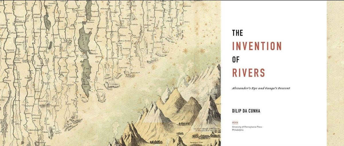
Last week I listened to one of my favourite podcasts, The Subverse, this episode a fascinating interview with landscape architect and planner Dilip Da Cunha. In conversation with host, Susan Mathews, da Cunha tackled the question of water’s troubles with such clarity and insight that his book ‘The Invention of Rivers’ has just raced to the top of my wish list. It looks like a beauty but its hefty price tag means getting my own copy will have to wait. In the meantime, I’ve been searching out talks and lectures he and his partner Anuradha Mathur have given online to find out more about their work.
When is a line not a line?
Da Cunha argues that the whole idea that we inhabit ‘dry land’ that is strictly separated from water is a colonial construct, going right back to Alexander the Great and reinforced by later colonial mapmakers. He argues that we really inhabit a world of ‘wetnesses’ of varying saturations.
He explains that a river is drawn as a line on a map, conceived as a linear flow to sea from a single ‘source’ where that line begins. But in reality a river is not a single, linear entity. It’s rather a gathering of wetness, a confluence that’s replenished by rainfall, dews, mists, springs, meltings, seepings, dribblings, oozings, that accumulate from a whole field of moisture.
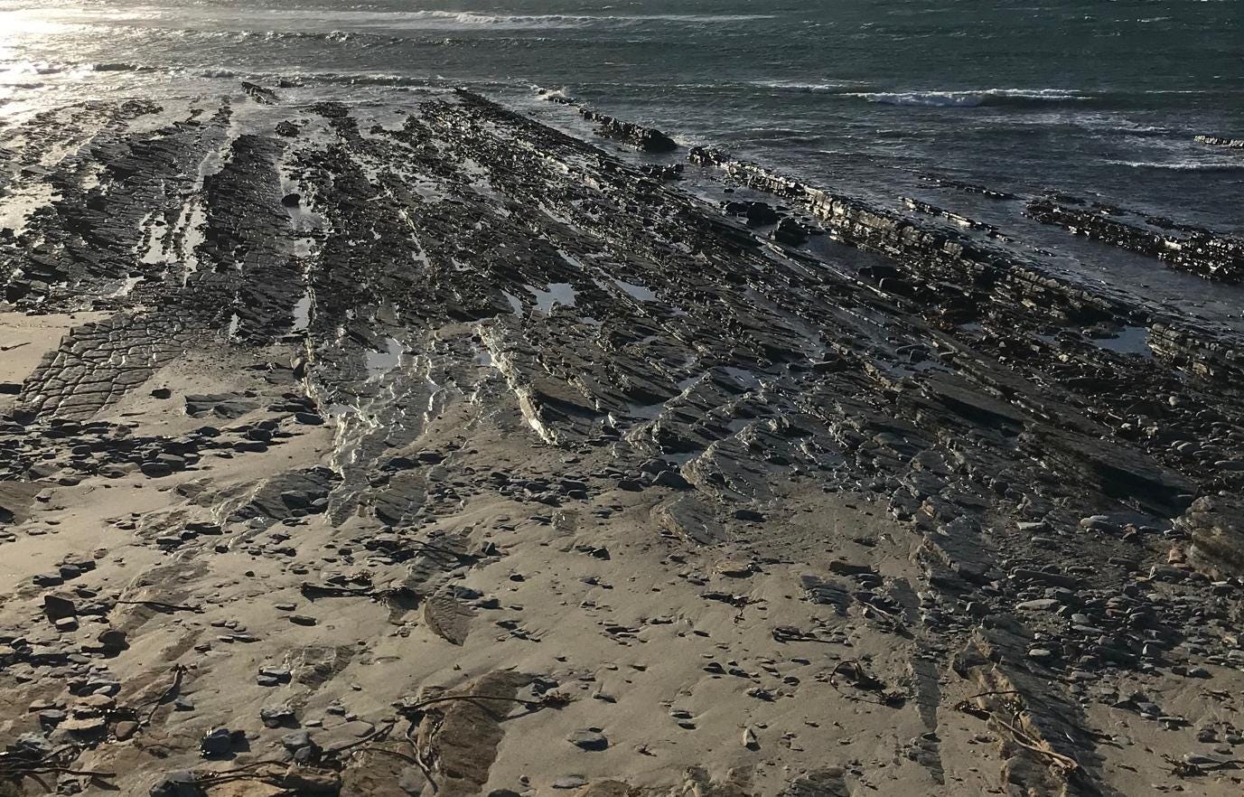
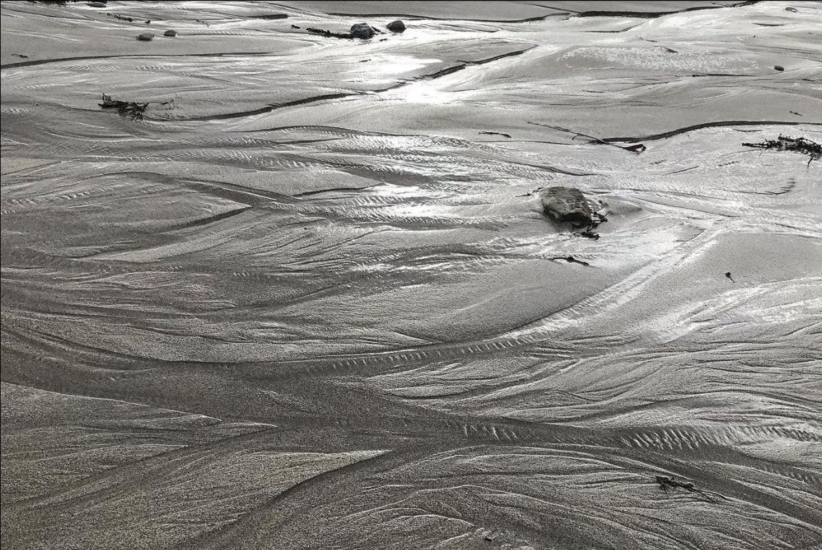
A river is not a line, and a coast is even less so. Stand at the sea’s edge and you will see that the shore is where the land, that extends continuously beneath the water, emerges from beneath its salty depths and is resubmerged periodically, according to the rhythms of waves, tides and weathers.
A line can seem so definitive, such a certainty, but Da Cunha reminds us that a line is just a conceptual invention of geometry. A line, geometrically speaking, only has length, from one defined point to another. It has no width. So you couldn’t really see a line in reality.
And yet in mapmaking we draw lines all over the landscape; lines between river and bank, between wet and dry, between ‘yours’ and ‘mine’, creating boundaries and edges where none existed until that point, only a continually shifting gradation of ‘wetnesses’.
When is a river not a river?
A river, Da Cunha explains, is a moment in time – a snapshot, if you like, taken at one point in the hydrological cycle. This misleads us into thinking that the river is ‘wet’ and the riverbank is ‘dry’ land. But what if, he asks, we extended our view of water to include its invisible seepings and soakings, its mists and rainfall, its evaporation and precipitation?
Liquid water is only one particular form of wetness. We equate ‘wetness’ with ‘water’ because that’s when it is most visible to us. We only see water’s flow. But really, wetness has been moving long before it reached the river and will go on flowing, through clouds, weather systems and invisible water vapour in the atmosphere, into and out of plants, soils, animals, our own bodies and breath.
Unlike water, wetness is everywhere, an immanence in which it’s hard to define a flow and a surface.
When is an island not an island?
Water is considered the ‘proper’ state of wetness, while vapour, mist and rain are ephemeral and secondary, visitors to the landscape. In this, Da Cunha says, we have made a choice, and that choice is to select one quality of wetness, and one moment in time, over all others. As a planner and architect, he asks how we might hold wetness and work with it, rather than hurry it, drain it, dam it, contain it?
He invites us to consider an ontology of rain, how rain soaks and holds and saturates and exceeds. It’s nonlinear. Wetness doesn’t flow. It soaks and evaporates, moving within an unevenly distributed field of wetness.
Indian by birth, Da Cunha has given much thought to the unruliness of India’s mighty but beleaguered rivers, increasingly polluted, dammed, fought over and prone to flooding. He asks ‘Is India a river landscape or is it an ocean of rain?’
We might ask the same of our own places.
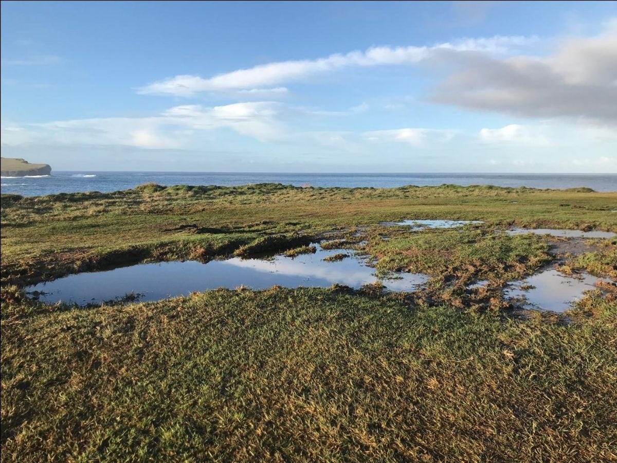
The whole low-lying middle part of Orkney’s Mainland was once a series of wetlands, scrub and loch, most of them long since drained for farmland. A few boggy lochs remain, havens for wildfowl. In winter you often see wide, shining patches of rainwater gather in the lowest part of fields where the old stone drains have collapsed. You don’t have to dig far in our garden to reach the water table.
There’s no clear boundary between wet and dry. The soil itself is only half earth, the rest is water and air. Raindrops need a speck of dust to form.
So, is Orkney (or indeed Great Britain) an archipelago surrounded by water? Or is it an ocean of rain, a collection of mounds or high ground within a vertical gradation of varying wetnesses? What would change if we were able to think that way?
Living between the sky and the water table
If, rather than thinking about land and waterscapes as surfaces on which lines are inscribed, we can think of them in terms of depth, of section rather than plan, then we can understand that we inhabit a landscape of depth, from rainclouds to underground aquifers.
I’m feeling my way into this way of thinking, wondering what its implications might be. And I am only just beginning to think about what that means for how we inhabit time. Meeting so many archaeologists since moving to Orkney has shown me they see landscape as depth at least as much as surface, and that’s before we even come to the geologists, for whom time and land reach deeper still.
Might thinking about place and landscapes in terms of depth as well as surface help us to consider time as having depth and amplitude as well as duration? It's a question that, for me, is best explored through drawing. At least to begin with.
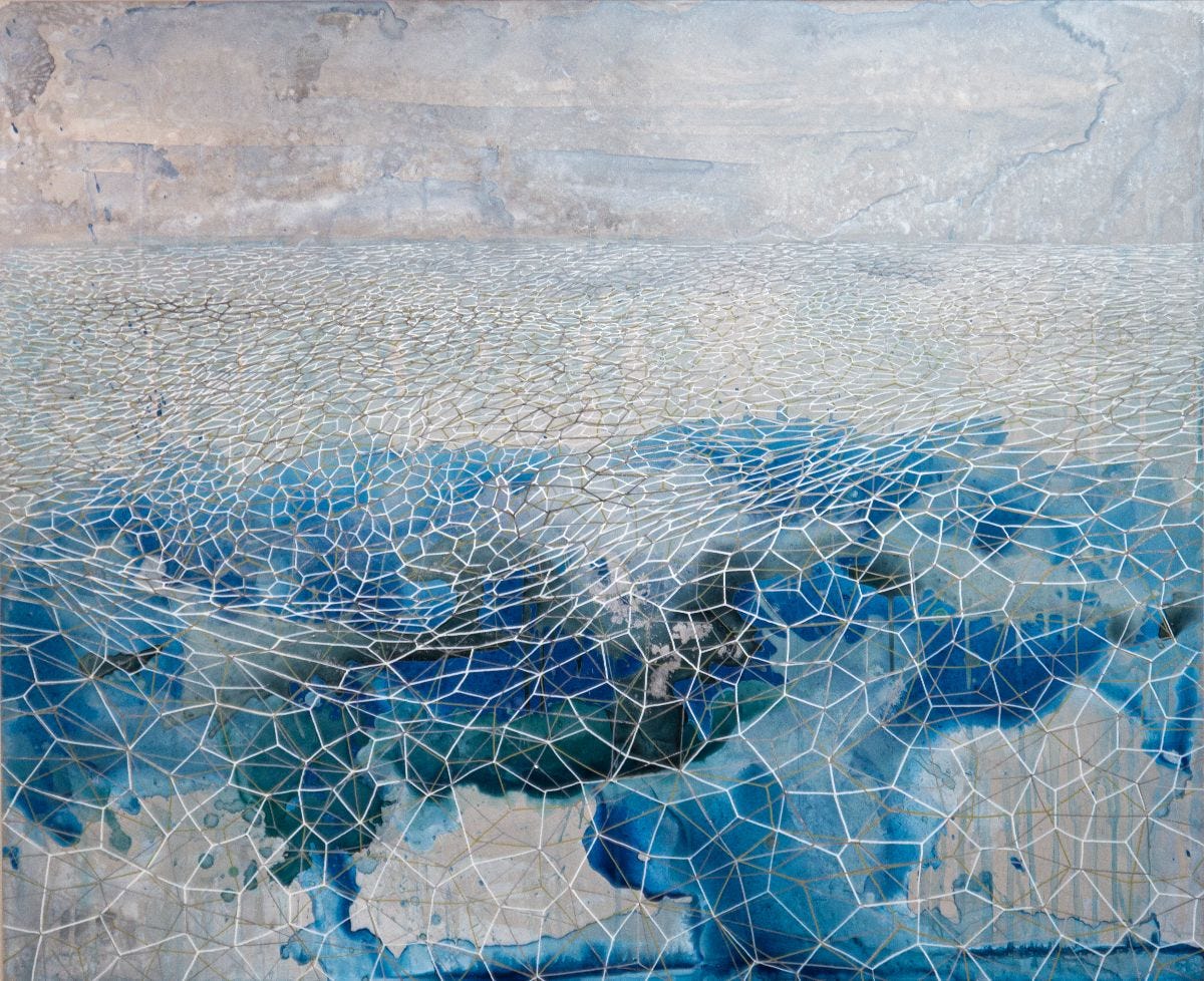
"Edgelessness", Samantha Clark, acrylic, chrome ink and aluminium leaf on aluminium panel, 110 cm x 90 cm
In the meantime, I invite you too, to hold this sense that we inhabit a landscape of amplitude, of depth.
Whether that's a landscape of aridity or dampness, we all move between raincloud and aquifer, soaked in a field of wetness that saturates our own leaky, squelchy, oozing bodies.
Sam


